

Project Description
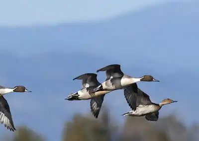
This family owned and operated ranch in Stanislaus County has one of the largest single tract grassland conservation easement in the Central Valley. The creation of the easement was managed by the California Waterfowl Association, under the NRCS jurisdiction. Working as a sub-contractor for CWA, VVH established the boundary of the property and the proposed easement and prepared the plats and legal descriptions. The survey was completed utilizing post-processed static GPS survey methodology, GPS RTK and conventional surveying equipment and was tied to the Stanislaus County GPS Network control. VVH project surveyor prepared a record of survey of the conservation easement area and filed it with the County surveyor’s office. The property occupied land in 6 different sections. Following the easement acquisition, VVH surveyors placed sign posts and permanent monuments at 500’ intervals on the easement boundary.
The services provided by VVH Consulting Engineers included:
- Boundary/Topographic Surveys
- Bathometric Surveys
- Construction Staking
- Preparation of Plat Maps and Legal Descriptions
Surveying Procedures and Equipment used:
- GPS Static/Fast Static post processed data
- Trimble and Spectra L1/L2/GLONASS receivers
